 MARK
MARK Pyg Track — Walk up Snowdon
The Pyg Track is the sharp, direct line into Yr Wyddfa from Pen-y-Pass. Shorter than most routes, steeper than the tourist paths, and with enough rocky terrain to feel like a genuine mountain ascent.
The full breakdown — stats, the route in stages, what it really feels like, and the practical detail you need to plan the day.
At a Glance
- Grade: Moderate mountain walk with short exposed sections
- Terrain: Rocky steps, pitched paths, loose sections, ridge-side traverses
The Route
Route Character
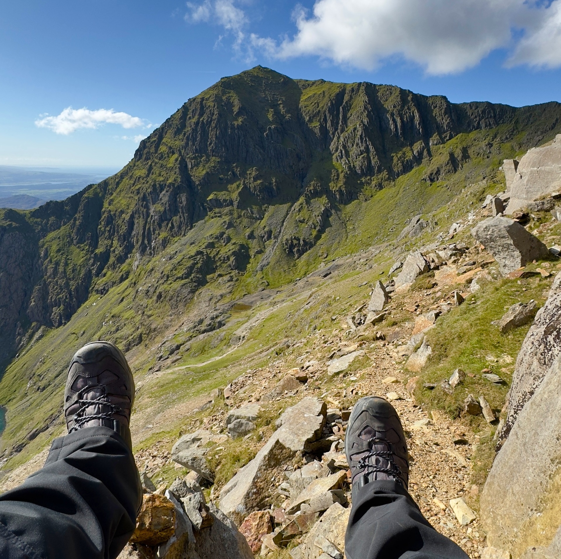
The Pyg Track wastes no time — it climbs immediately, pulling you up the flanks of the Glyderau side of the valley before cutting across the northern cwms of Yr Wyddfa. The path is well-defined but rough, built from stone pitching, boulders, and natural rock.
The upper section is where it earns its reputation: a steeper, rockier pull to the col below Crib Goch, followed by a short exposed traverse before joining the final ascent. Nothing technical, but enough to remind you you’re on real mountain ground.
Route Breakdown
- 1. Pen-y-Pass → First Rise — A sharp start. The path climbs immediately on pitched stone steps, gaining height fast. Views open across the Llanberis Pass and the Glyderau.
- 2. Crossing the Cwms — The track levels slightly as it cuts across the hanging valleys beneath Crib Goch. Rocky underfoot, with Llyn Llydaw below and the Horseshoe wrapping around you.
- 3. Steeper Upper Section — The gradient kicks again. Rougher rock, looser patches, and a more serious feel.
- 4. The Exposed Traverse — A short but memorable section. Narrow, rocky, and a little spicy — not dangerous, but enough exposure to slow inexperienced walkers. The Pyg’s defining moment.
- 5. Final Ascent — The Pyg merges with the Miners’ Track and Llanberis Path for the last push to the summit ridge and trig point.
Practical
Difficulty & Hazards
- Exposure: One short section — manageable but not ideal for severe vertigo.
- Weather: Pen-y-Pass can be clear while the summit is in cloud; winds funnel through the col.
- Crowds: Very busy in summer; early starts recommended.
- Navigation: Straightforward in good visibility; trickier in cloud near the upper section.
- Winter: Requires winter skills — ice forms early on the rocky steps.
Who This Route Suits
- Walkers with some mountain experience
- People wanting a shorter, more direct ascent
- Groups comfortable with rocky terrain
- Anyone wanting a “proper mountain feel” without committing to Crib Goch
Parking & Logistics
- Pen-y-Pass: Expensive and often booked out in peak season. The closest start point, but you pay for the convenience.
- A498 Lay-by (Pen-y-Gwryd junction): Free, limited spaces — adds a short walk up to Pen-y-Pass as a warm-up.
- Shuttle buses: Sherpa services from Llanberis, Nant Peris, Betws-y-Coed, and Pen-y-Gwryd.
- Facilities: Toilets at Pen-y-Pass; nothing on the route.
GPX & Map Notes
Marked clearly on OS Explorer OL17. The line is obvious in good conditions but can blend into the rock in cloud — especially near the col. A GPX is recommended for poor-visibility days.
MX Summary: A compact, rocky, no-nonsense ascent with one exposed moment and big scenery from start to finish. The fastest way to get a real mountain day on Yr Wyddfa without stepping into technical territory. It’s the classic for a reason.