 MARK
MARK Miners’ Track — Walk up Snowdon
The Miners’ Track is the calmer twin to the Pyg, leaving Pen-y-Pass and following the old copper-miners’ route deep into the cwm. Longer, gentler, and home to some of the finest lake scenery on Yr Wyddfa.
The full breakdown — stats, the route in stages, what it really feels like, and the practical detail you need to plan the day.
At a Glance
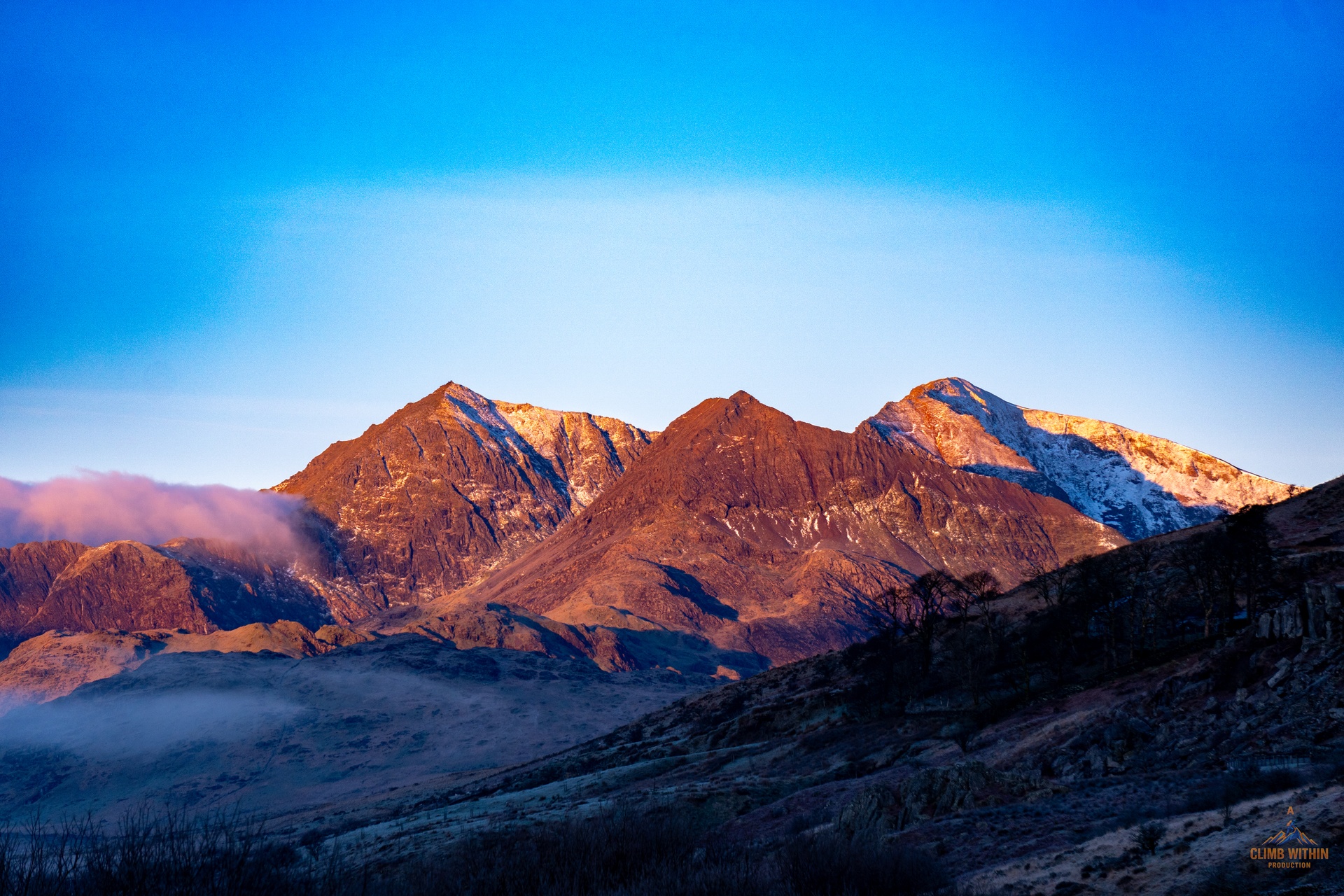
- Grade: Moderate mountain walk
- Terrain: Valley paths, lake shores, stepped upper section
The Route
Route Character
The Miners’ Track begins with a short descent from Pen-y-Pass before settling into easy, scenic walking along Llyn Llydaw. The path hugs the water, giving huge views of the Snowdon Horseshoe. Relaxed, open terrain — the kind of walking where you can talk and enjoy the valley.
Past Glaslyn, the mood shifts. The old mine workings mark the start of the climb, and the zigzags pull steeply out of the cwm. Sustained, but never technical. It merges with the Pyg at the col for the final push to the summit.
The perfect “up easy, down easy” option — or the classic loop when paired with the Pyg.
Route Breakdown
- 1. Pen-y-Pass → Llyn Llydaw — A gentle drop from the car park leads to wide, easy paths along the lake. Big views of Crib Goch and the Horseshoe dominate the skyline.
- 2. Glaslyn & the Old Mine — The track climbs past the remains of the copper workings. Glaslyn sits below — one of the most dramatic cwm lakes in Wales.
- 3. The Zigzags — The gradient finally bites. A steep, stepped climb up the far side of the cwm. Legs work, lungs work, but the path is clear and solid.
- 4. Summit Col → Yr Wyddfa — The Miners’ joins the Pyg for the final ascent. A steady, stepped pull to the summit ridge and trig point.
Practical
Difficulty & Hazards
- Exposure: Minimal — far less than the Pyg.
- Steepness: The zigzags are sustained but not technical.
- Weather: The valley can trap mist and rain even when the summit clears.
- Crowds: Very busy in summer, especially around the lakes.
Who This Route Suits
- First-timers wanting a gentler ascent
- Walkers building toward steeper routes
- Anyone planning the classic Pyg-and-Miners’ loop
- People who prefer scenery over exposure
Parking & Logistics
- Pen-y-Pass: Expensive and often booked out in peak season. The closest start point, but you pay for the convenience.
- A498 Lay-by (Pen-y-Gwryd junction): Free, limited spaces — adds a short walk up to Pen-y-Pass as a warm-up.
- Shuttle buses: Sherpa services from Llanberis, Nant Peris, Betws-y-Coed, and Pen-y-Gwryd.
- Facilities: Toilets at Pen-y-Pass; nothing on the route.
GPX & Map Notes
Marked clearly on OS Explorer OL17. The lakeside section is obvious; the zigzags are easy to follow even in cloud. A GPX is still worth carrying for the upper section in poor visibility.
MX Summary: A steady, scenic, forgiving line that shows Yr Wyddfa at its most beautiful. The Miners’ Track gives you lakes, history, and a climb that feels honest without ever becoming technical. The perfect partner to the Pyg — gentle on the way up, smooth on the way down, and a classic loop when combined.